The satellite detects the fire spreading during darkness on the 16th and 26th July—but then it disappears from the map at dawn, between 4:00 am and 4:45 am. This does not mean the fire stopped burning.
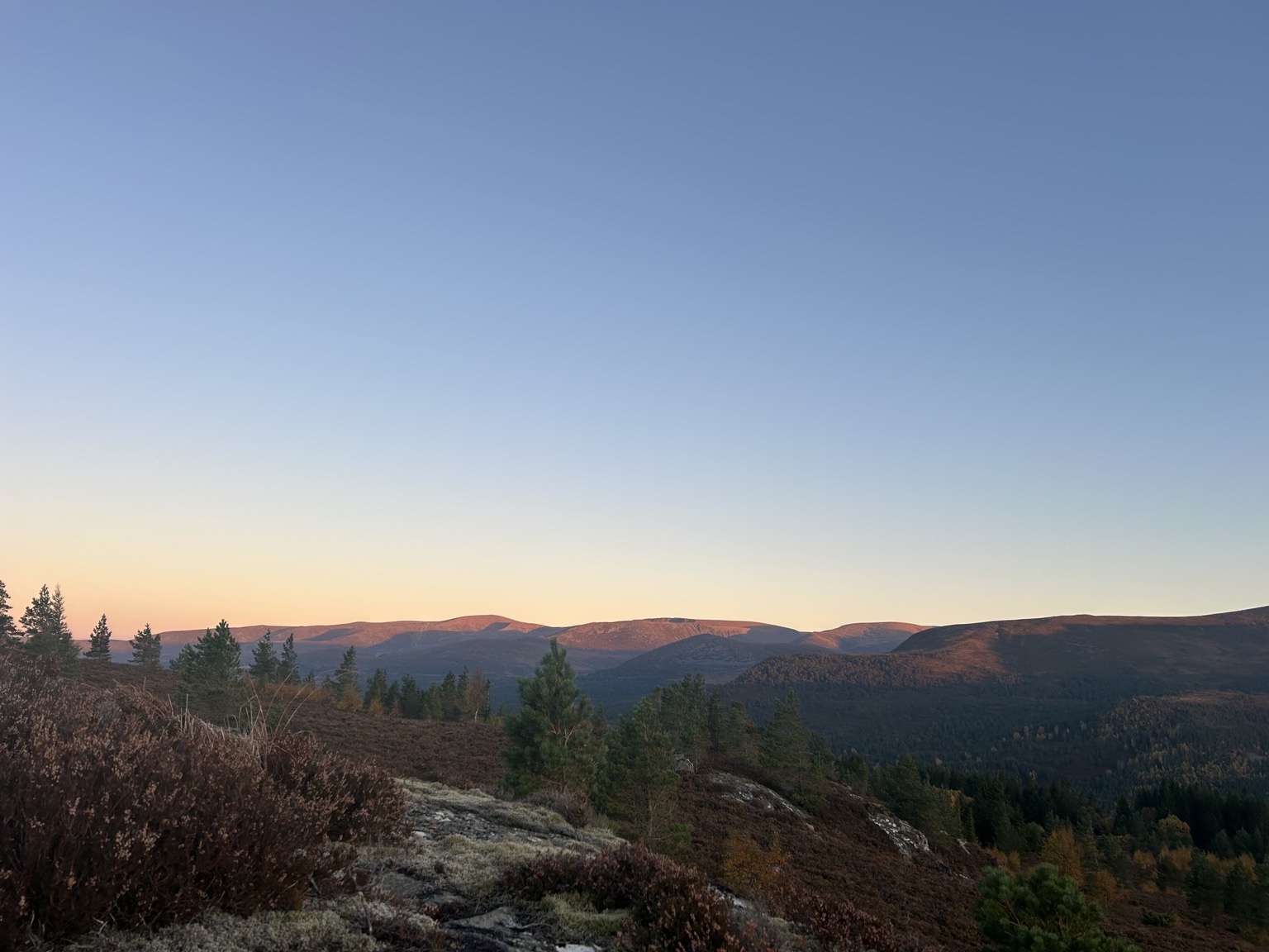
Low-angle light across Rothiemurchus, looking towards the Cairngorms. Photograph: The Boat House, Rothiemurchus.
At night, the satellite can detect a hotspot because it strongly contrasts with the cool ground. At dawn, the low sun warms the ground unevenly across peat hags and slopes, reducing the thermal contrast with the burning ground.
Peat burns at a lower temperature and spreads downwards into the ground. The satellite sees the warm surface, not the hot underground temperature.
Smoke continuing over the fire area on 18 July 2026.
Peat burning underground can reach around 500–600°C, whilst an insulating layer of moss, duff or unburned peat can leave the surface merely warm.
The hotspot may not trigger the global satellite detection algorithm, despite the peat continuing to produce smoke and heat.
An Alaska study designed specifically for high latitudes found that standard algorithms missed low-intensity and residual burning. Its locally tuned analysis detected 30–90% more fire pixels, particularly behind the main fire front (Waigl et al., 2017).